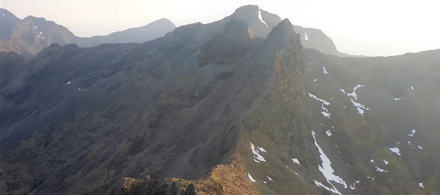
A challenging route up one of Skye’s most iconic peaks.
The route starts from the Sligachan Hotel Pub (maps link) on the A863 between Broadford and Portree.
The official grade is UK Moderate, with hands on scrambling required.
Route Map
Approach
1 – (NG 48542 29803) Follow a path that follows the river opposite the hotel out over the moor to a bridge. Cross the bridge and continue along the path for ~2 km before a fork is reached at another bridge.
2 – (NG 47491 27820) Rather than crossing the bridge, follow the path onwards and upwards along the side of the river into Coire a’ Bhastier. Eventually the path fades and a light scramble into the upper Coires ensues, providing great climbing on superbly rough Gabro. Climb scree up and left to the Bealeach at the eastern end of Am Bhasteir (Bealeach a Bhastier).
The Scramble
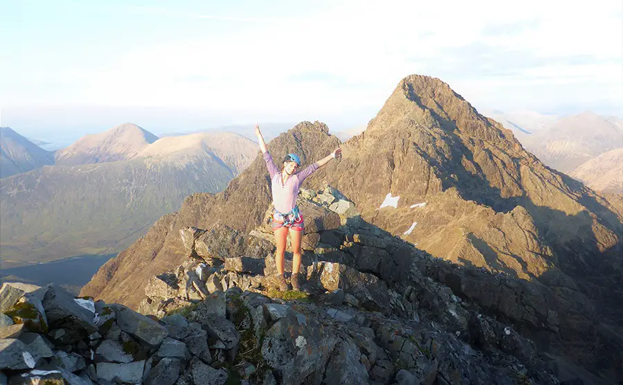
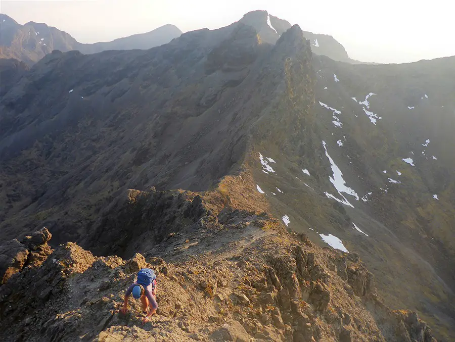
3 – (NG 46844 25223) This is where the fun begins. Follow the ridge eastwards over a few small rock towers before the main wall of the west ridge thrusts up in front.
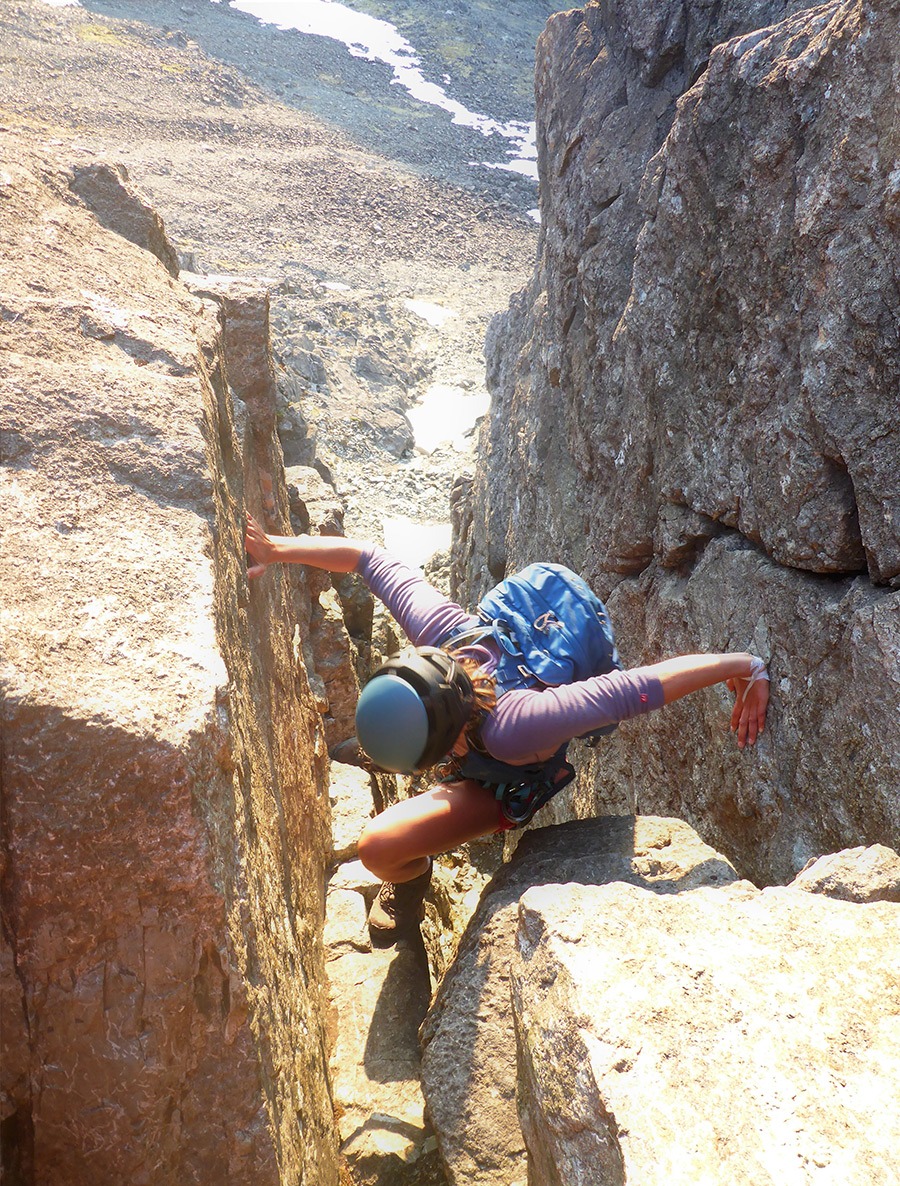
The easiest way to negotiate this section is a large chimney which is about 50m left (north) of the crest and has a convenient traversing ledge running along to its base.
This is the crux of the ridge and most people will opt to rope up! Climb the chimney over a few chockstones to a ledge situated amongst some pinnacles (exposed).
Follow a crack leftwards from here over a small wall before regaining the ridge crest. Follow the crest through ‘the window’ (hero photo opportunity!) before the final scramble to Sgurr Nan Gillean.
The summit is perhaps one of the finest on Skye (and therefore the UK) and is well worth a picnic and a wee dram!
Descent
4 – (NG 47156 25305) Follow the south east ridge downwards over blocky ledges to the top of a large wall. This marks the crux of the ‘Tourist Route’ which in its own right is Grade 3… The easiest descent is down a right trending ramp line following good, positive holds. Walk down the ridge for 500m before turning left (north) into Coire Riabhach. From here follow the path back to the pub.
Recommended Guidebook & Map
The best guidebook for this route is found in the SMC Skye Scrambles Book, which is available via Amazon on Paperback here.
The best map for this route is the Ordnance Survey Landranger 32 South Skye & Cuillin Hills Map, available on Amazon here.
Recommended Scrambling Guide: (coming soon)
Recommended Accommodation
You can camp at the Sligachan Camping site here.
You can get hotel accommodation at the Sligachan Hotel on Booking.com here.
Route Info
| Distance | 10.1 km |
| Elevation | 1050m +/- |
| Duration | 7 - 9 hours |
| Grade | MOD |
| Transport | Car: Sligachan Pub |
Navigation
| Guidebook | Best Book |
| Maps | Best Map |
| Guided Tours | Guides |
| Accommodation | Where To Stay? |
| Contributor | Who Contributed? |
Route Contributed by: Sam Wainwright
“I live for everything outdoors and to me a bad day in the hills still beats a good day in the office.”
Sam regularly publishes route blogs on his website Wainright Climbing here.
This route was created by Sam Wainwright and donated to the UK Scrambles website through our contributor program.
This generosity enables us to publish a whole range of scrambling routes to help you enjoy the outdoors.
If you have a route you could contribute, submit it to us today.
