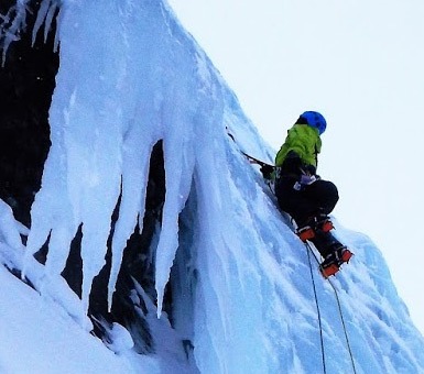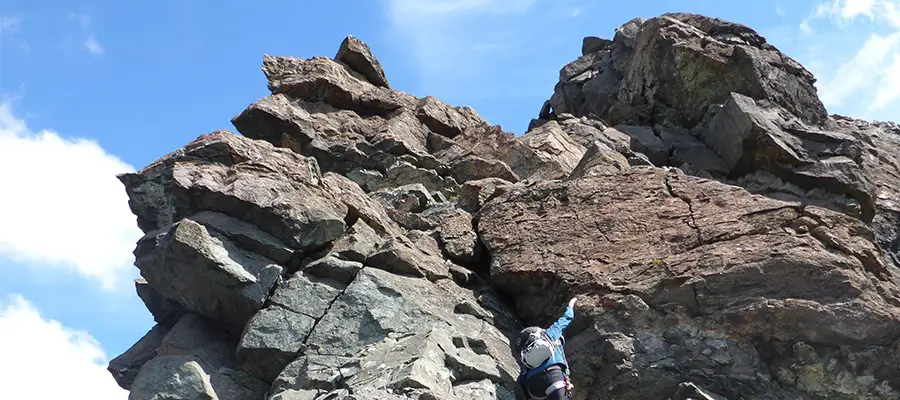
‘Doing the Dubhs‘ is a paraphrase born from the Isle of Skye that translates roughly as ‘having one of the best days possible in UK hills’.
Situated in the wilds of Loch Courisk on the far side of the Skye Ridge, this amazing outing is claimed to be one of the longest routes in the UK boasting nearly 1 km of climbing. It has a boat ride, unrivaled wilderness and some of the finest friction slab climbing anywhere.
The remoteness of Loch Courisk means that just getting to the base of the route is a mission in itself, requiring a 14 mile round trip from Elgol via Camasunary along rocky coast path.
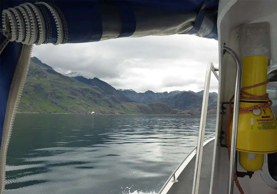
A much better option is to catch the early morning boat into Courisk from the harbor at Elgol on the Bella Jane (http://www.bellajane.co.uk/). They operate early morning and late return ferries perfect for a long day on the Dubhs. There is also plenty of places to camp, just watch out for the midges..
This route is graded as a Moderate climbing route.
Equipment: 60m rope plus some tat to back up the abseil
Route Map
Approach
1 – (NG 48702 19660) Follow the path around cragy outcrops towards the river and up into the Courisk basin. Keep to the left (south) side of the Loch marching across bog and glacial moonscape until below the toe of the ridge ~1.5km from the jetty.
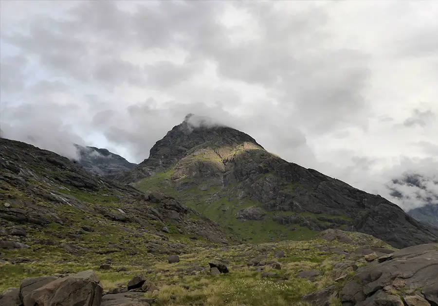
Scrambling Dubhs Ridge
2 – (NG 47716 20763) The base of the Dubhs can be seen towering overhead, with entry onto the route guarded by some very steep slabs split by an obvious grassy cleft on its far left hand side. Climb the cleft onto the top of these slabs and move around to the left edge of the lower ridge.
The next buttress section presents the obligatory crux and comprises a ledge system and exposed step above a big drop, but the holds are positive and the difficulties are short lived. From here on in follow the great swath of slabs for nearly 1 km taking the line of least resistance (or direct!) all the way to the summit of Sgurr Dubh Beag.
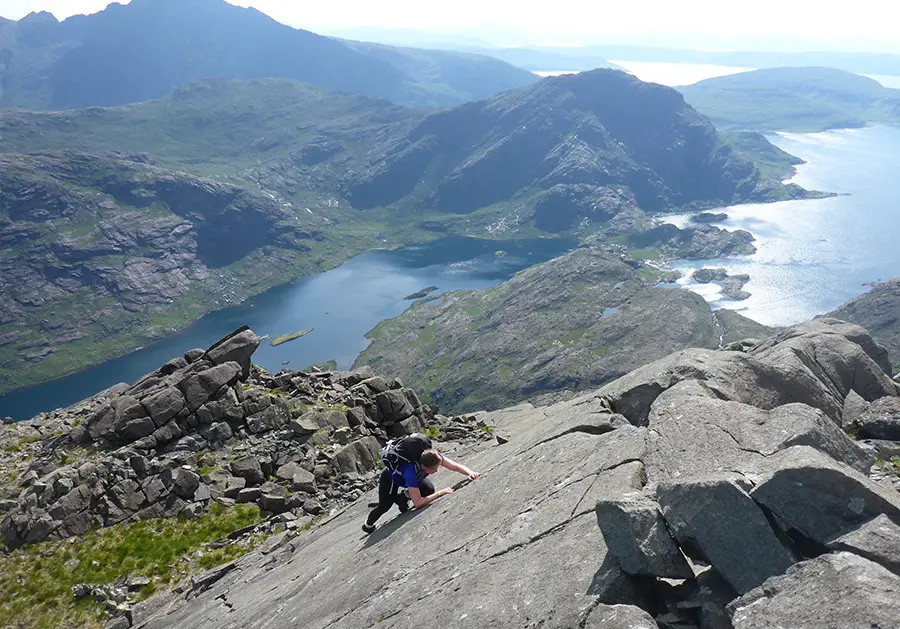
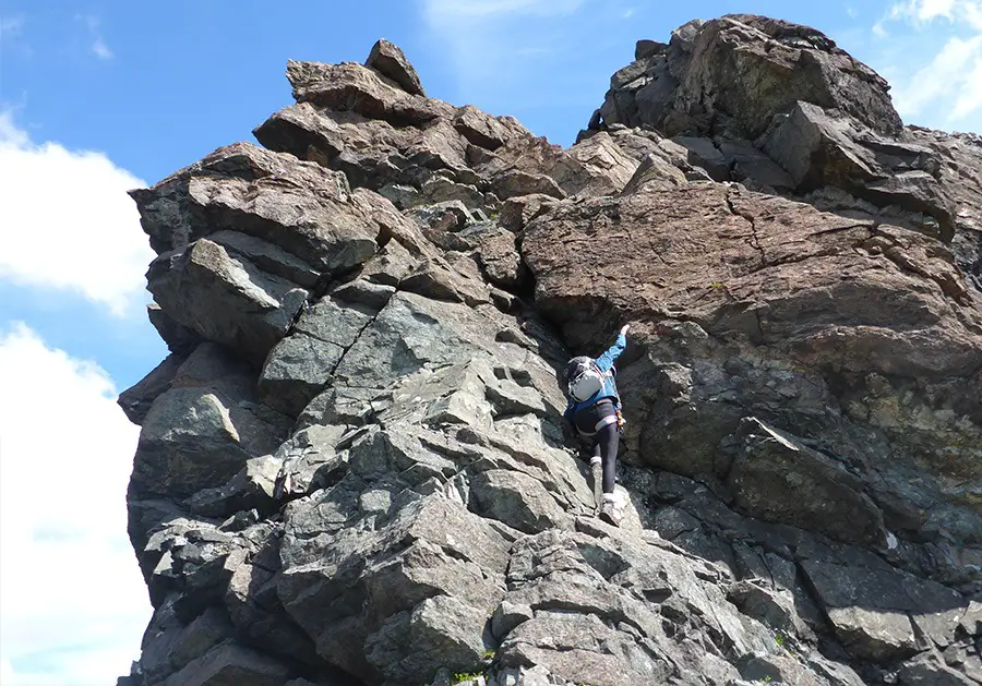
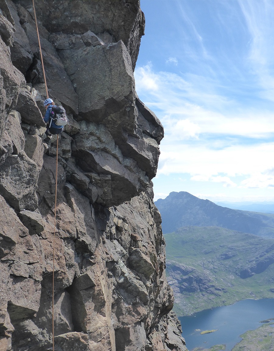
3 – (NG 46573 20423) The superb friction of the Skye Gabbro means its quite likely that the thought of needing a rope hadn’t even crossed your mind so far. However descending from the summit of Sgurr Dubh Beag and onwards along the ridge is very steep and exposed and is best abseiled (although it can be downclimbed at S/HS).
From the summit a short walk west along the ridge finds a few in-situ lower off points (best take some tat just in case!) right on the ridge crest. Make a 25m abseil down to a ledge before a short scramble regains easier ground. If time is pressing and the ferry departure time is looming a bit to close for comfort, it is possible to escape north into Coir a’ Chaoruinn and down to Courisk.
4 – (NG 46448 20370) From the Bealach continue along the ridge, which gradually builds in difficulty before some very exposed (grade 3) scrambling leads to the majestic summit of Sgurr Dubh Mor.
Descent
5 – (NG 45726 20549) An awkward descent from the summit followed by further scrambling westwards gains the final top of Sgurr Dubh an Da Bheinn. From the summit descend the south west ridge (grade 2) towards the Bealeach below the huge rock tower of Caisteal a’ Garbh-coire (NG 45433 20276) and turn east down into An Garbh-choire.
It should be noted the descent down the Choire is very rough and can be quite time consuming with tired legs! Once back at the shores of Loch Courisk, tighten your laces and get running! Its not long until the last ferry!
Recommended Guidebook & Map
The best guidebook for this route is found in the SMC Skye Scrambles Book, which is available via Amazon on Paperback here.
The best map for this route is the Ordnance Survey Landranger 32 South Skye & Cuillin Hills Map, available on Amazon here.
Recommended Scrambling Guide: (coming soon)
Recommended Accommodation
You can also check out good value accommodation nearby in Elgol on Booking.com here.
Route Info
| Distance | 11.06 km |
| Elevation | 1350m +/- |
| Duration | 8-12 hours |
| Grade | MOD |
| Transport | Ferry - Elgol Harbour |
Navigation
| Guidebook | Best Book |
| Maps | Best Map |
| Guided Tours | Guides |
| Accommodation | Where To Stay? |
| Contributor | Who Contributed? |
Route Contributed by: Sam Wainwright
“I live for everything outdoors and to me a bad day in the hills still beats a good day in the office.”
Sam regularly publishes route blogs on his website Wainright Climbing here.
This route was created by Sam Wainwright and donated to the UK Scrambles website through our contributor program.
This generosity enables us to publish a whole range of scrambling routes to help you enjoy the outdoors.
If you have a route you could contribute, submit it to us today.
