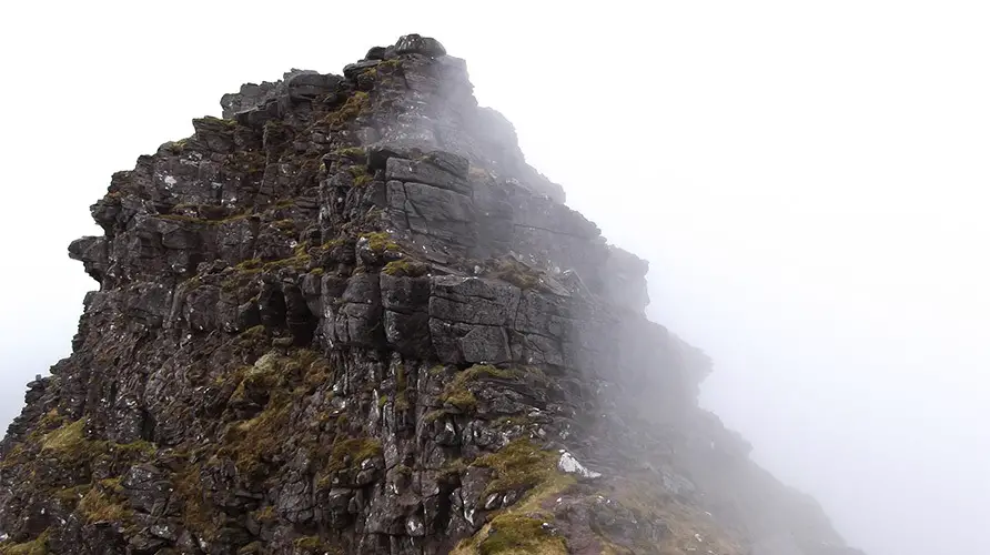
The mountains of Torridon hold a special place in the hearts of walkers, scramblers and climbers alike. Set in the far north west of Scotland amidst endless miles of empty wilderness, it is a place of mythical standing that’s on almost everyone’s bucket list, but ultimately it’s where only the brave dare venture.
Rearing straight up out of bogs, lochs and moorlands, these mountains are an impressive sight to behold and send shivers down the spine of even the most seasoned mountaineer.
Thankfully, once up close they’re not quite as menacing as they first appear. Beinn Alligin, the most westerly of the range thrusts its mass out into the Atlantic and provides one of the more accessible, but no less committing mountain traverses in the region and especially when combined with the sensational ‘Horns of Alligin’, makes one of the finest low grad scrambling days in Scotland.
Graded 1 / 2.
Start at the Beinn Alligin car park (Maps link)
Route Map
Below shows the route outline, and should be taken from East to West, ie right to left.
Approach
1 – (NG 86900 57669) Starting from a cap park behind the Torridon Hotel, cross the road bridge and follow a good path on the eastern bank of the Abhainn Coire Mhic Nobuil north for about 2 km until a an obvious footbridge is reached.
2 – (NG 88161 58893) Cross the bridge and follow the path for a few hundred meters, taking the left fork at the next path bifurcation. From this point on the paths become considerably vaguer requiring careful route finding is required at all times. Continue along the path, crossing the river to reach another fork in the path marked by a small cairn. This point is away from the river, with the main path seen to be continuing on between the mountains of Beinn Alligin (on the left) and Beinn Dearg (on the right).
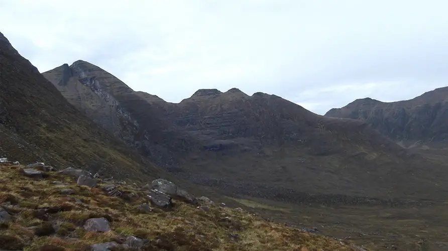
The Scramble
3 – (NG 88242 60149) This is where the fun begins. Take the left path and climb steadily up the steepening slope crossing several rocky bands which seemingly circumnavigate the entire ridge proper. The path up this remains reasonable, indicating the easiest way of breaching the rock steps, which become gradually more exposed the higher you climb up. This section provides the most sustained section of the entire traverse climbing on wonderfully grippy Torridonian Sandstone, some of the finest scrambling rock in the UK and maybe the world! Continue up to where the angle eases following the path (with the odd hands on section) to the top of the Horns (An t-Sail Bheg).
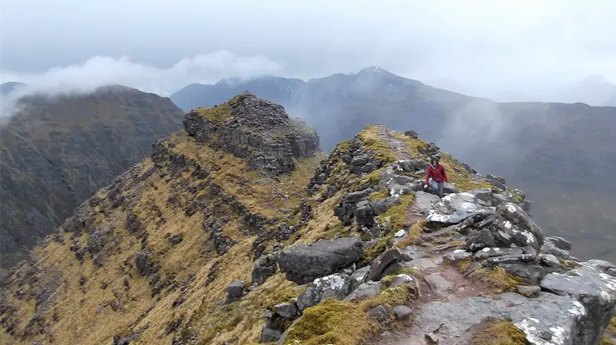
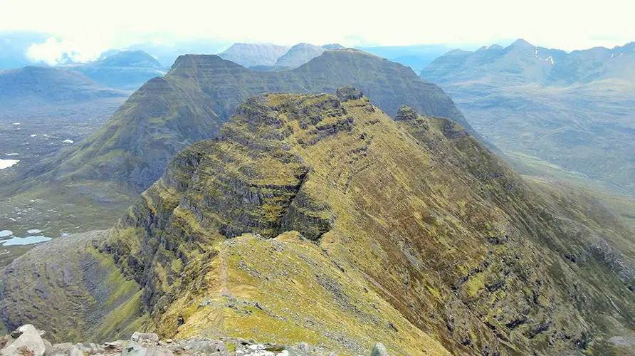
4 – (NG 87614 61156) A traverse of this section of the ridge makes for continually interesting (and in some places exposed scrambling) however following the crest itself is not compulsory, with good paths to be found on the south western side of the ridge skirting most of the difficulties. Follow the ridge (or the path) down a few rock steps to reach the bealach between An t-Sail Bheg and Squrr Mor (NG 87135 61304). From here follow the well-defined ridge crest to the summit of Sgurr Mor.

Descent
5 – (NG 86568 61272) From the summit head south west down along the broad ridge over a subsidiary top before following the more defined and blocky arête to the main summit of Beinn Aligin. The views from here across the wider Torridon Range including Beinn Dearg and Liathach are spectacular.
6 – (NG 85962 60159) Victory photos collected and remaining sandwiches consumed. Take the (initially vague) path southwards into upper Coire nan Laogh, which can be a bit loose and also contain a large snow patch depending on the time of year you’re visiting. The easiest entry is to skirt the top southwards for a short way before skirting hard left down and into the Coire basin. A recently constructed armoured path is soon reached which is followed back to the start.
Recommended Guidebook & Map
The best guidebook for this route is found in the Cicerone Scotland’s Mountain Ridges book, which is available via Paperback or Kindle Book here.
The best map for this route is the Ordnance Survey 433, Torridon, available on Amazon here.
Recommended Scrambling Guide: (coming soon)
Recommended Accommodation
You can find good value accommodation nearby on Booking.com here.
Route Info
| Distance | 9.6 km |
| Elevation | 1250m +/- |
| Duration | 7 hours |
| Grade | 1 / 2 |
| Transport | Car: Beinn Alligin car park |
Navigation
| Guidebook | Best Book |
| Maps | Best Map |
| Guided Tours | Guides |
| Accommodation | Where To Stay? |
| Contributor | Who Contributed? |
Route Contributed by: Sam Wainwright
“I live for everything outdoors and to me a bad day in the hills still beats a good day in the office.”
Sam regularly publishes route blogs on his website Wainright Climbing here.
This route was created by Sam Wainwright and donated to the UK Scrambles website through our contributor program.
This generosity enables us to publish a whole range of scrambling routes to help you enjoy the outdoors.
If you have a route you could contribute, submit it to us today.

This Post Has 0 Comments