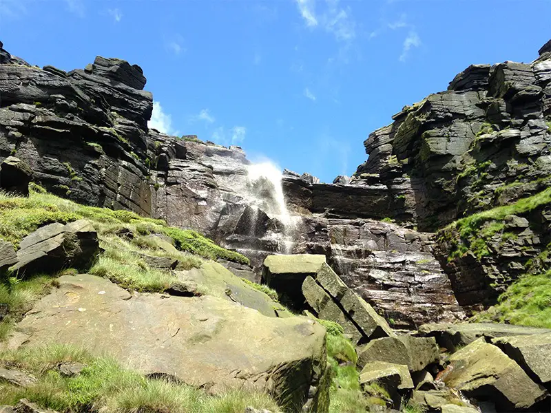
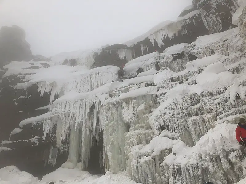
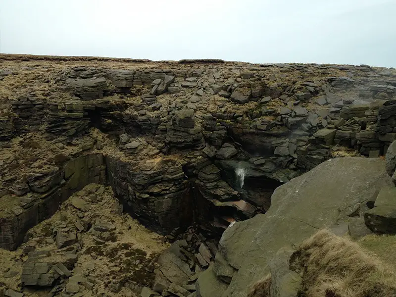
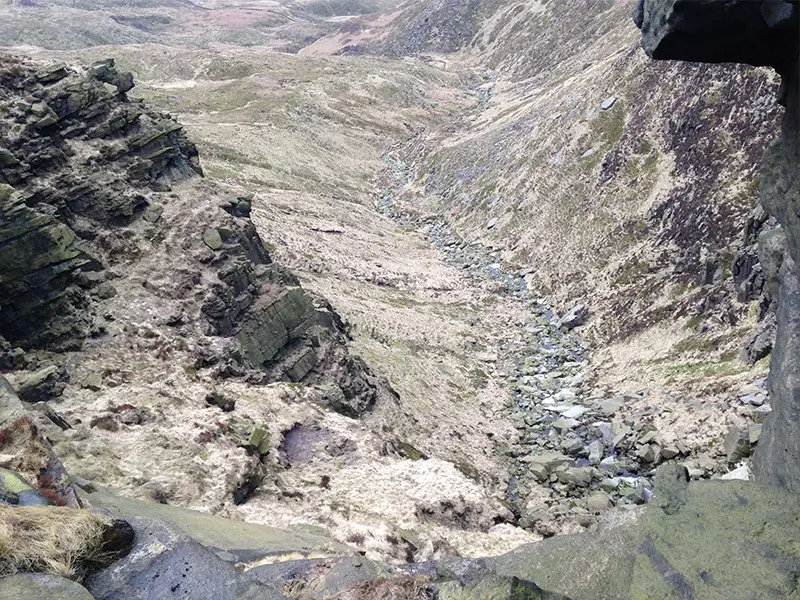
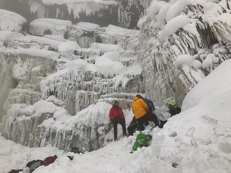
The Kinder Downfall is a famous and impressive waterfall located in the Peak District on the edge of the hill Kinder Scout. It is located on the River Kinder, and during high winds the water blows back on itself, creating a steam cloud that can be seen from miles around.
Map Location
Below is a map detailing the best ways to get to the Kinder Downfall. These walking routes are suitable for any ability.
Kinder Downfall Routes
Here are the best routes to enjoy around the Kinder Downfall area.
Scrambling Routes
- Red Brook (Grade 1)
- Arpeggio Gully (Grade 3)
- Square Chimney Exit (Grade 3)
- Kinder Downfall Climb (Grade 3)
Walking Routes
- Hayfield -> Follow the road to the gate of the Kinder Reservoir, follow this upwards and around the left edge of the reservoir to a bridge. Here either continue around to the right and follow the River Kinder to get to the base of the Kinder Downfall, or ascend the steep slopes ahead of you onto Kinder Scout, following it East until you reach the downfall.
- Upper Booth -> Follow the road past the farm, over the bridge, and continue to Jacob’s Ladder. After ascending this, traverse the top of Kinder Scout and follow the edge until you reach the Kinder Downfall.
Accommodation
Hayfield
You can find a range of cheap and luxury accommodation in Hayfield on Booking.com here.
Upper Booth
Parking at the Upper Booth farm campsite is your cheapest and easiest option, you can find the website for that here.
You can find related accommodation in the valley, such as in Edale, on Booking.com here.
Location Info:
| Type | Waterfall |
| Height | 30m (98ft) |
| Area | The Peak District |
| Visuals | See Images |
| Location | See Map |
| Hiking | Best Routes |
| Accommodation | Where To Stay? |
