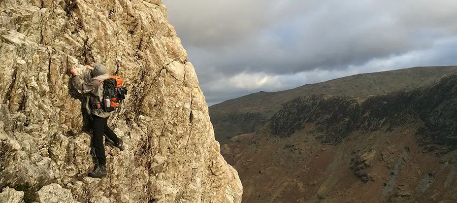
Cam Crag is a real hidden gem of a scramble set in one of the Lake District’s most beautiful valleys and with the walk finishing at a cracking pub, they don’t come much better than this!
Parking: Small Car Park in Stonethwaite Village (maps link)
Grade: 1 / 2 / 3***
Route Map
The route climbs a well-positioned buttress up the side of Langstrath valley emerging triumphantly between the summits of Bessy Boot and Glaramara. Those that’ve had their fill of rock can continue up to Glaramara’s summit and back to the start, while additional options for the more vertically (and speleogically!) minded to explore the internal wonders of a collapsed crag.
Approach
1 – (NY 26239 13761) The start is from the little car park in the centre of Stonethwaite Village next to the old phone box (which is now a mini library). If there is no space here, additional parking can be found on the verge closer to the main Borrowdale road (NY 25853 14113). Please park conservatively. From the car park continue along the road southwards past the pub (take note of the opening time for later!) and down a rough track past a campsite. Continue along the track without crossing the river (and passing through a few gates) before turning up into the main valley Langstrath.
2 – (NY 26944 12334) Continue along the valley for ~1.5 km until a final gate is reached overlooking a small gorge on the left (Blackmoss Pot). The Pot provides a great locations for deep water soloing (if you remembered your rock shoes) or just a bit of swimming (unless its winter in which case perhaps some ice skating?). From this point the large mass of Cam Crag finally starts to come into view high on the right hand side, with the scrambling route following the obvious striking ridge crests.
3 – (NY 26636 11286) From here continue along the path a little way before breaking out right on a small path that climbs up the side of the fell (passing through a gate) making for a flat depression just under the main ridge line next to a boulder field. For those with time on their hands there is a small howf well hidden amongst the rocks, with reputedly enough space for four to sleep comfortably(!).
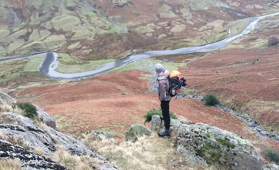
4 – (NY 26182 11079) From the depression, the main ridge of the buttress is followed delightfully from top to bottom, with the most exposed sections generally found on the crest/right hand side (some sections of Moderate). Most of the tricky sections can be avoided/escaped by traversing leftwards if required.
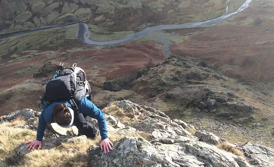
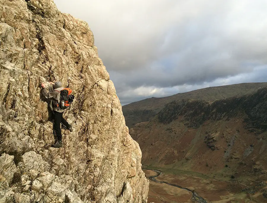
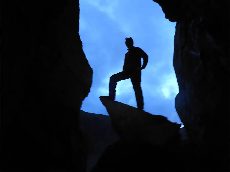
5 – (NY 26636 11286) Celebratory hero photos collected, from the top of the ridge there are a few options.
1. Further Scrambling – Attic Cave
For the scrambler, a fine continuation to Cam Crag can be found in Dovenest Crags, known as Attic Cave (click to see route).
Exploration complete, follow the following routes out of the Combe back to Stonethwaite (and the pub!).
Descent A – Direct
The easiest and quickest way back to the car is to traverse the summit of Rotheswaite Fell and Bessyboot to a small tarn (NY 25782 12263), and then descend a good path into Combe Gill.
Once in the bottom, follow a path on the eastern side of the river down the fellside through a few gates to the bottom of the valley.
Turn right onto a well-worn track past another campsite before reaching the road on the far side of the farm. If you parked on Stonethwaite turn right and continue to the pub!
Descent B – via Peaks
For the fell baggers, continue south west gradually climbing to the summit of Glaramara (NY 24719 10530).
A good path then leads north all the way back down into Combe Gill (NY 25111 12722), where the river can be easily crossed to join with the main route back to Stonethwaite (then the pub!).
More Difficult Scrambles
With rock crags a plenty there are a multitude of options to continue the days endeavours (especially if you’ve carried a rope all this way) with the pick of the bunch being Corvus on Raven Crag which makes one of the finest outings at Diff standard in the Lakes.
Should Cam Crag leave ones appetite unsuitably satisfied, more scrambling can also be found down in the spectacular Combe Gill.
Recommended Guidebook & Map
The best guidebook for this route is found in the Cicerone guide Scrambles in the Lake District North, available via Paperback or Kindle Book on Amazon here.
The best map for this route is the Ordnance Survey OL4, The English Lakes, North-Western Area available on Amazon here.
Recommended Scrambling Guide: (coming soon)
Recommended Accommodation
You can compare the best hotels, hostels and apartments in Borrowdale on Booking.com here.
Route Info
| Distance | 8 - 10 km |
| Elevation | 850m +/- |
| Duration | 5 - 7 hours |
| Grade | 1 / 2 / 3*** |
| Transport | Car, Stonethwaite |
Navigation
| Guidebook | Best Book |
| Maps | Best Map |
| Guided Tours | Guides |
| Accommodation | Where To Stay? |
| Contributor | Who Contributed? |
Route Contributed by: Sam Wainwright
“I live for everything outdoors and to me a bad day in the hills still beats a good day in the office.”
Sam regularly publishes route blogs on his website Wainright Climbing here.
This route was created by Sam Wainwright and donated to the UK Scrambles website through our contributor program.
This generosity enables us to publish a whole range of scrambling routes to help you enjoy the outdoors.
If you have a route you could contribute, submit it to us today.
